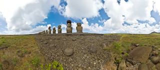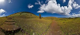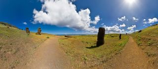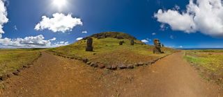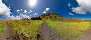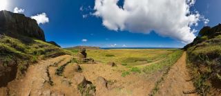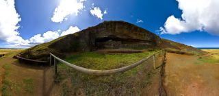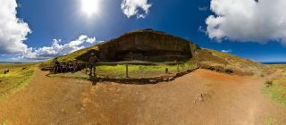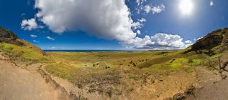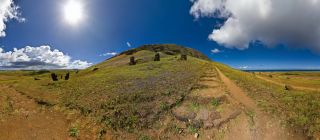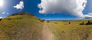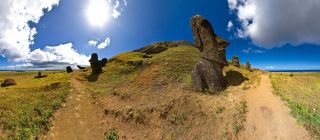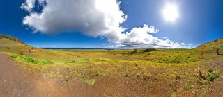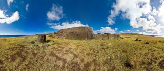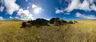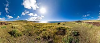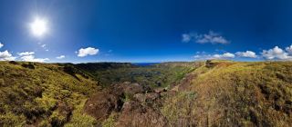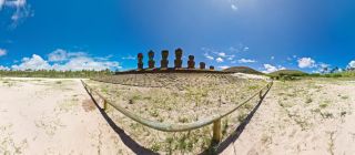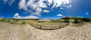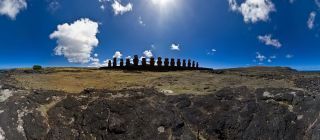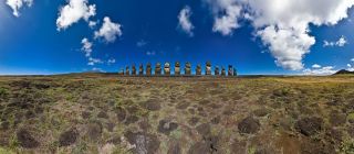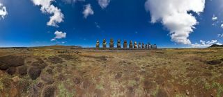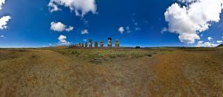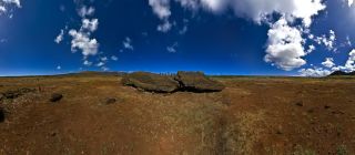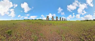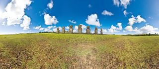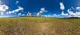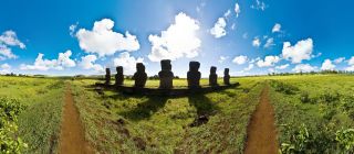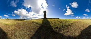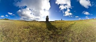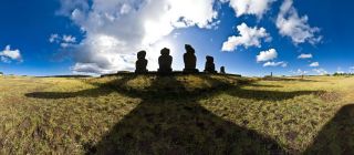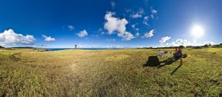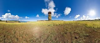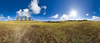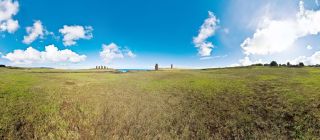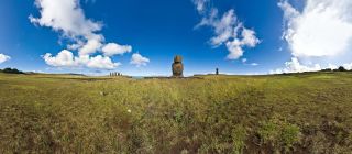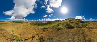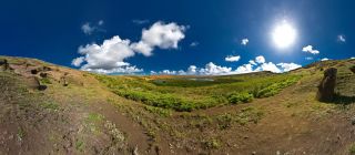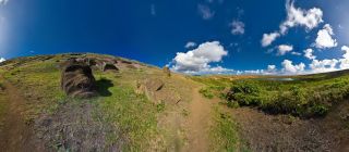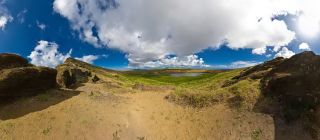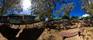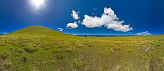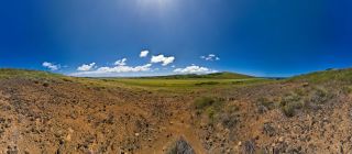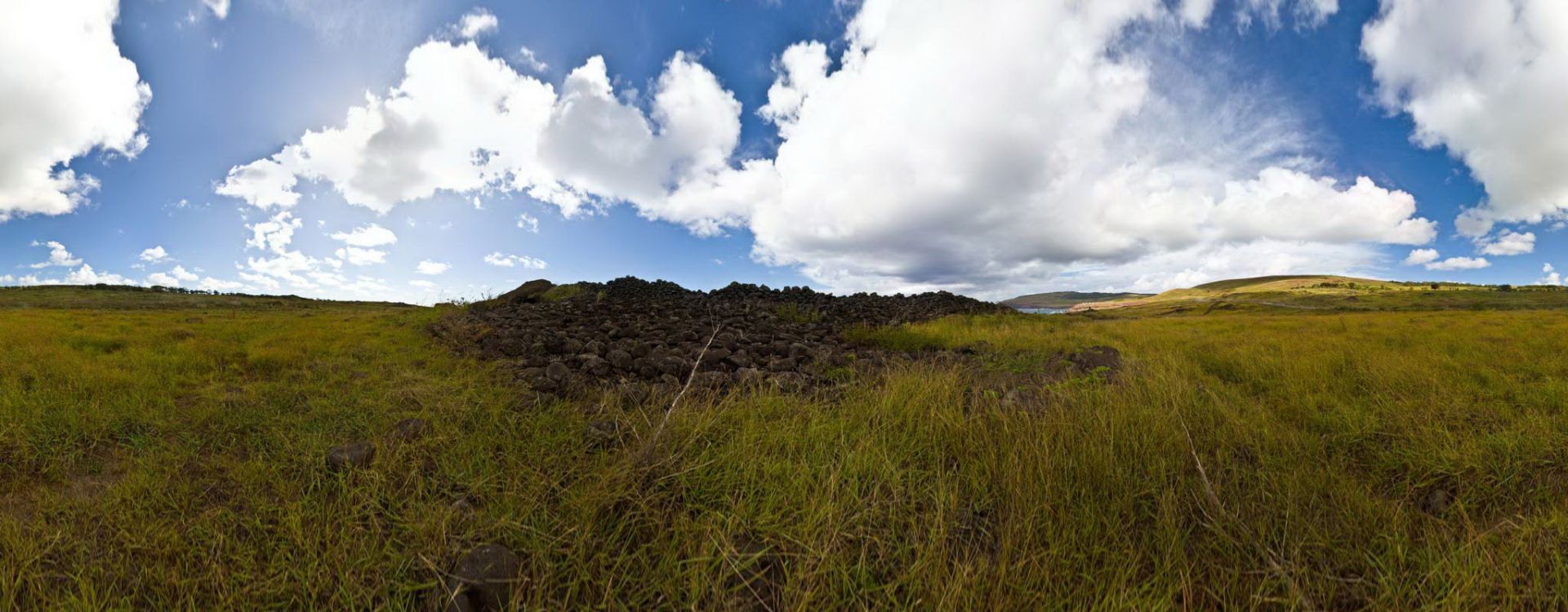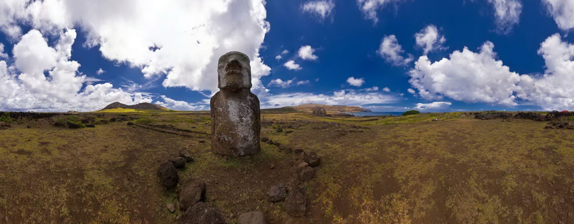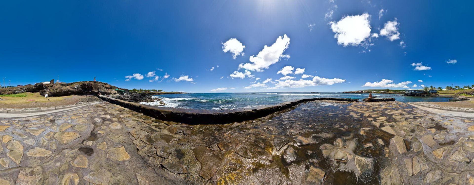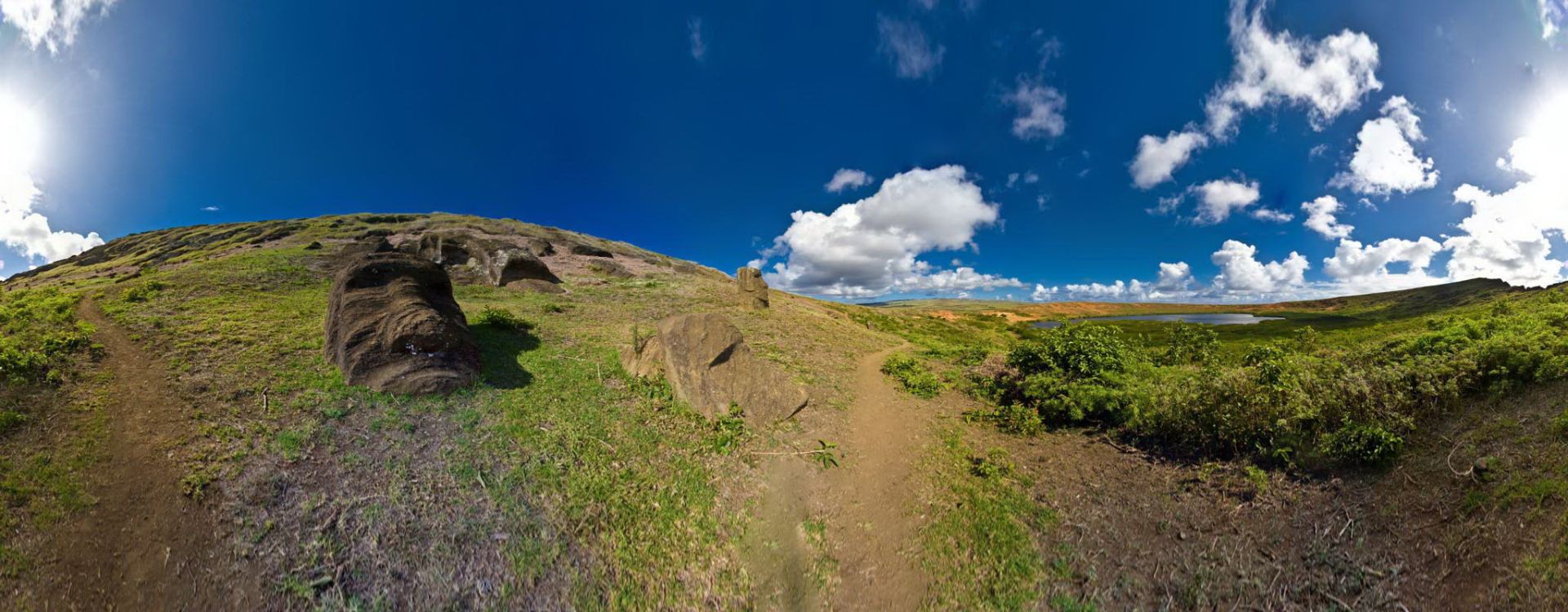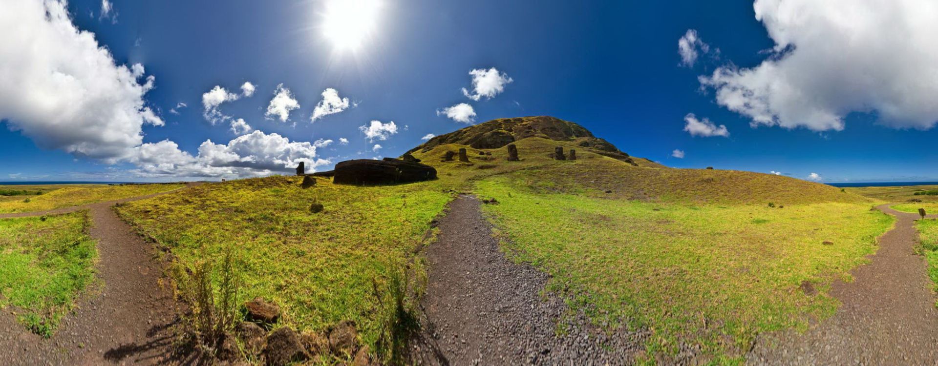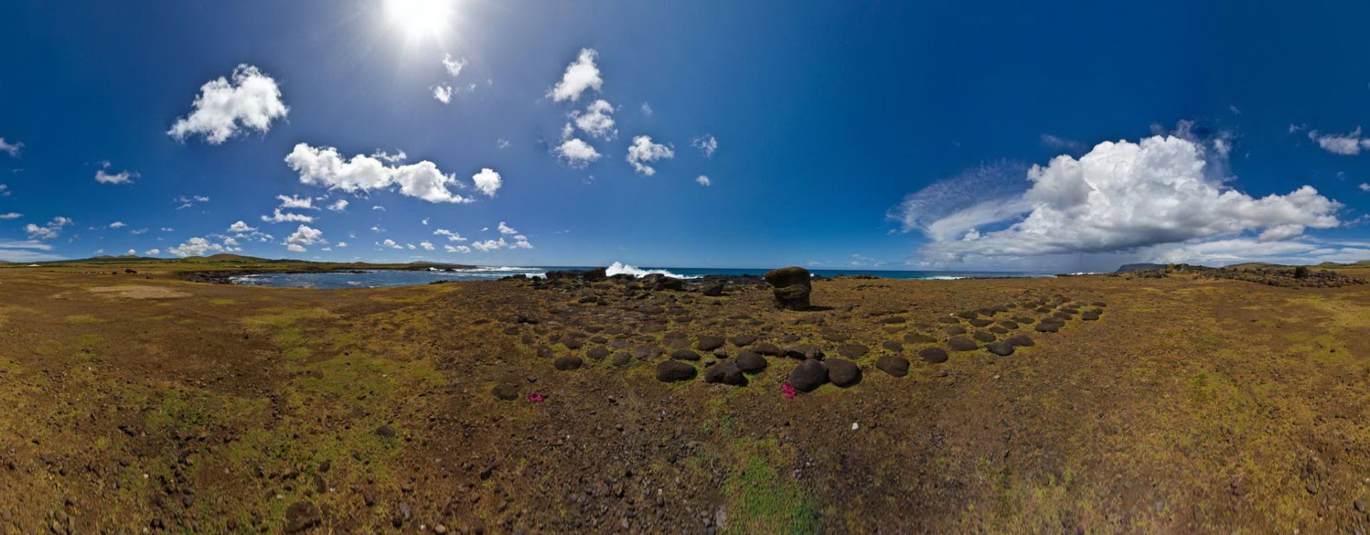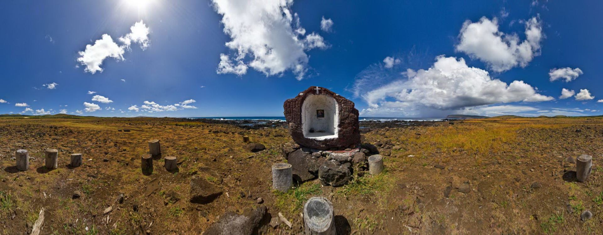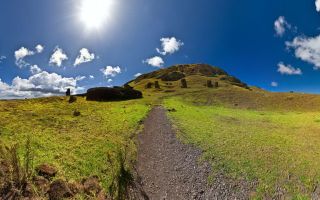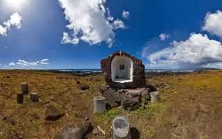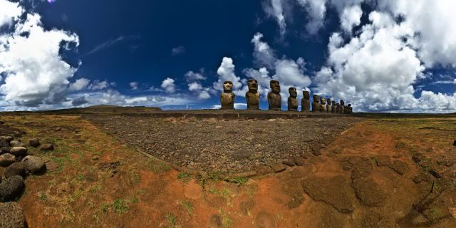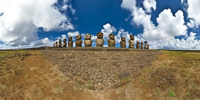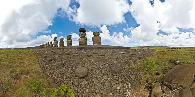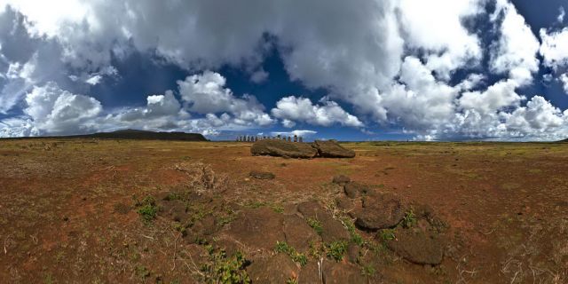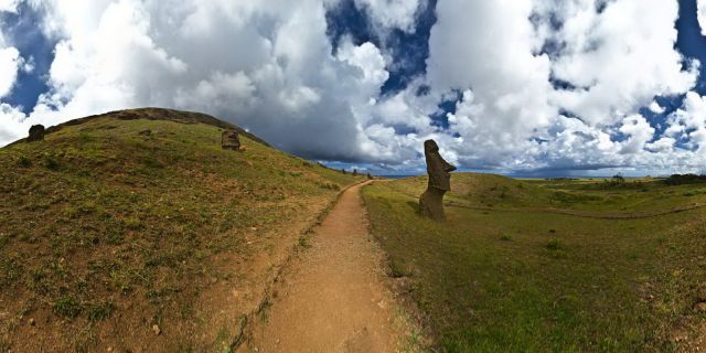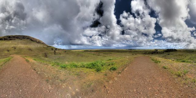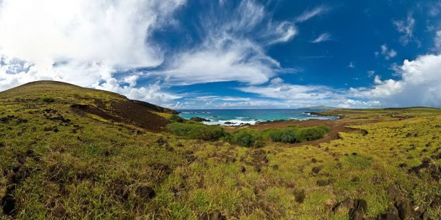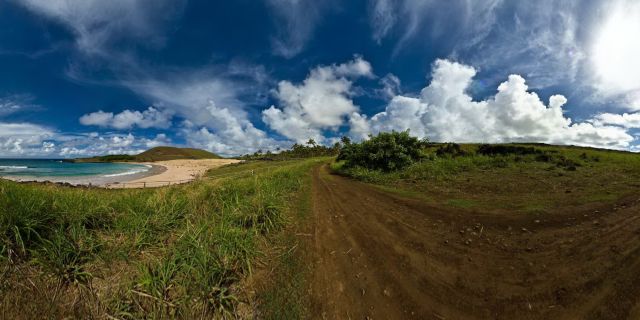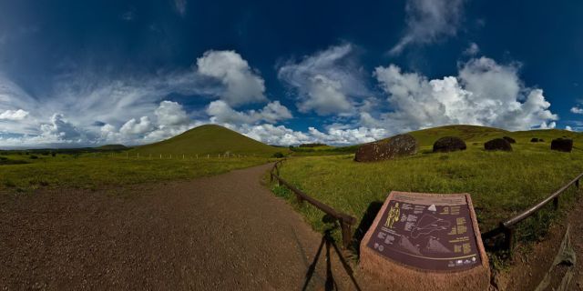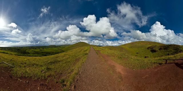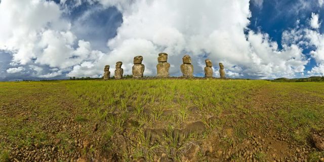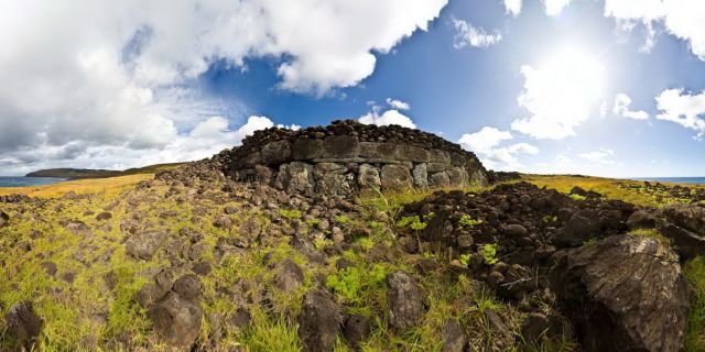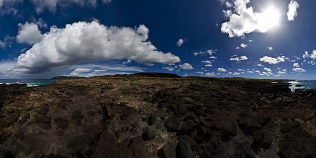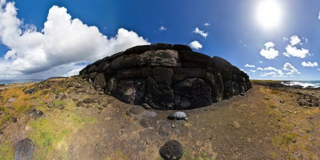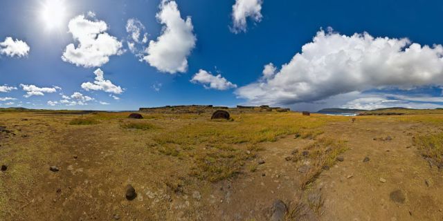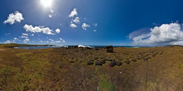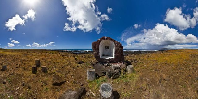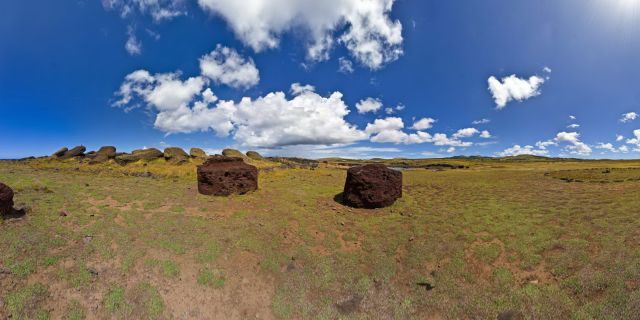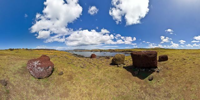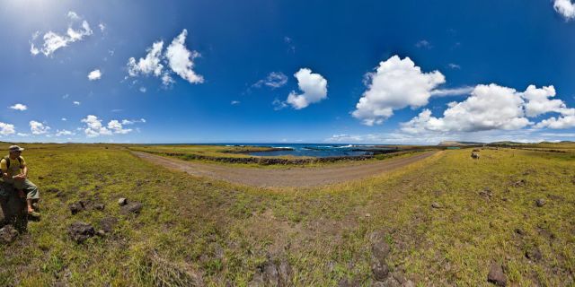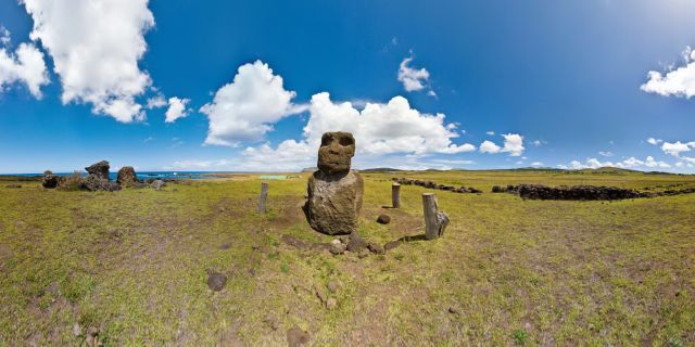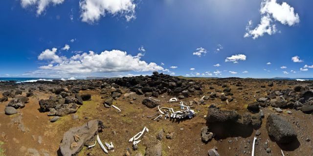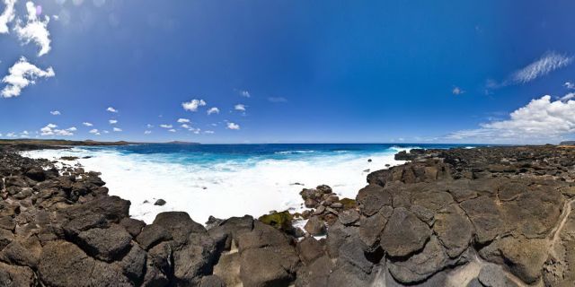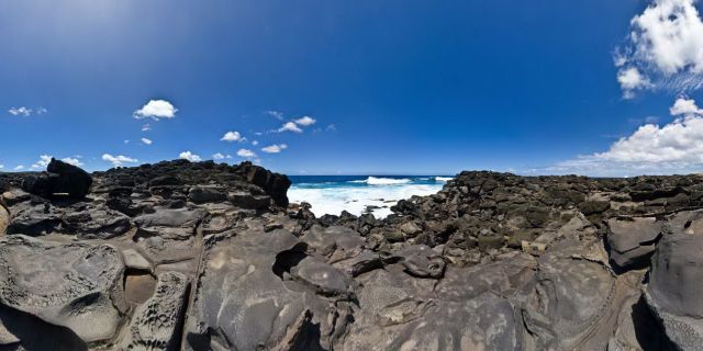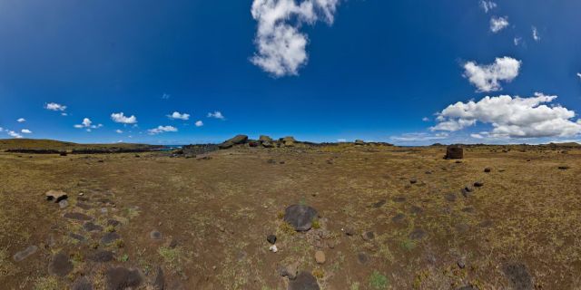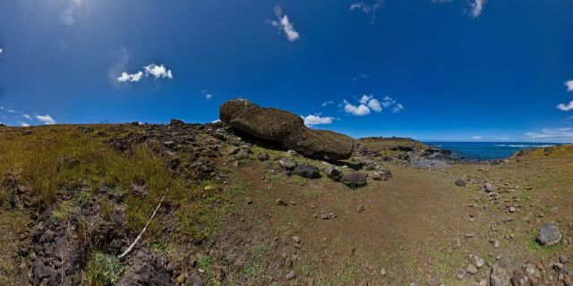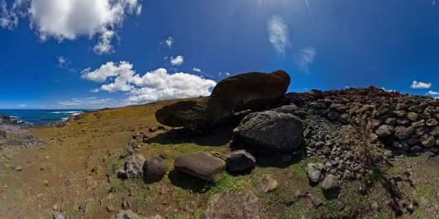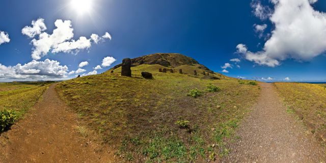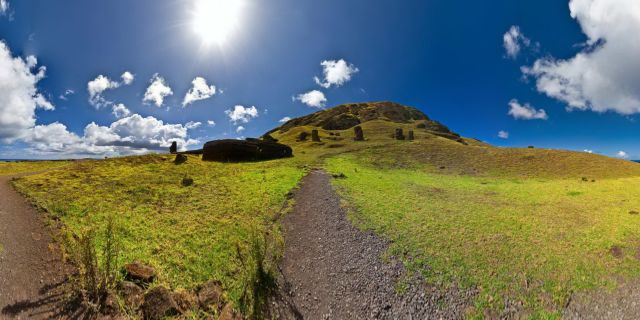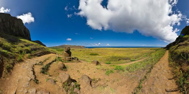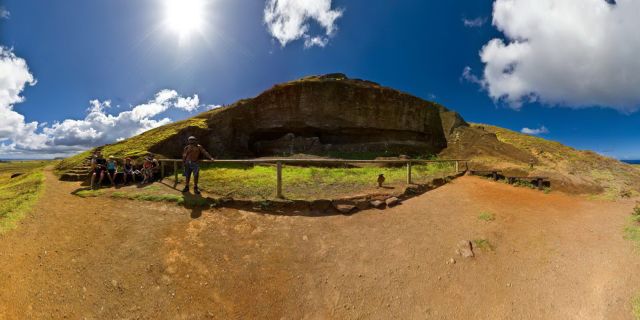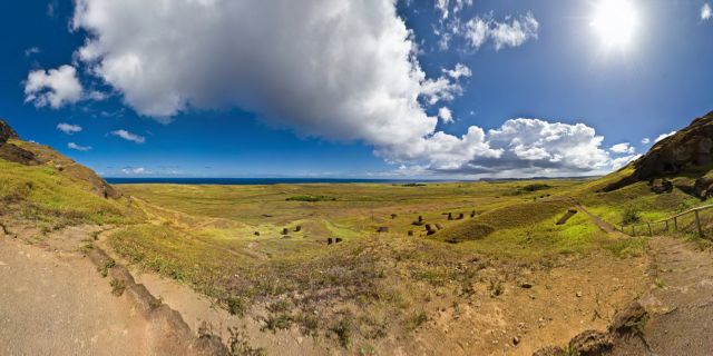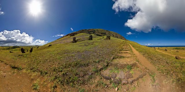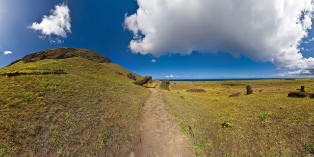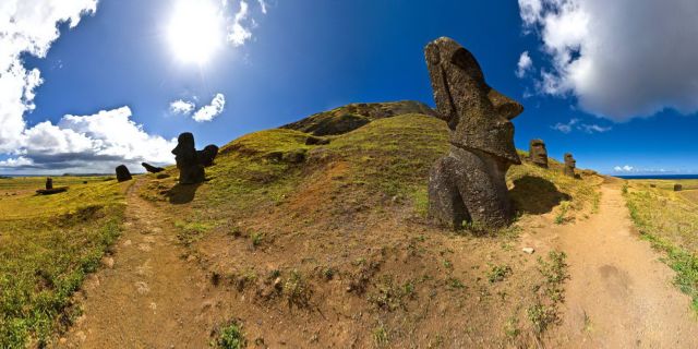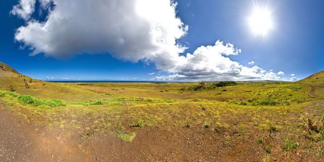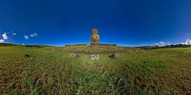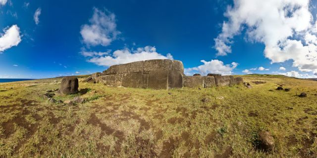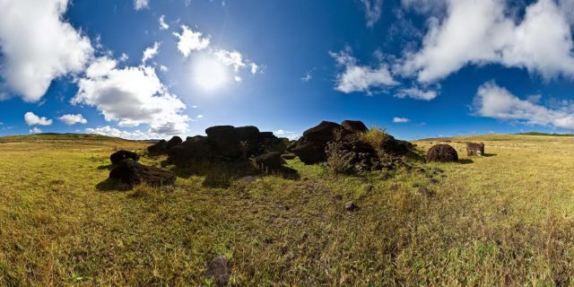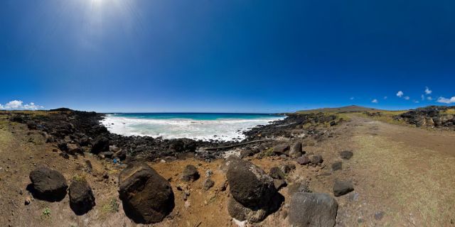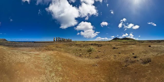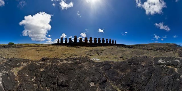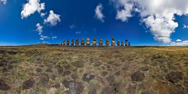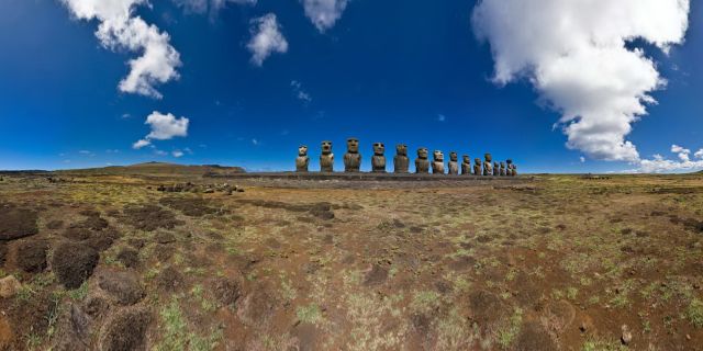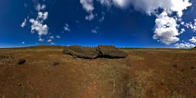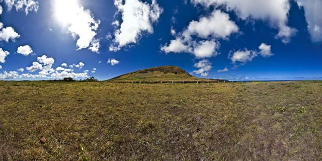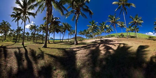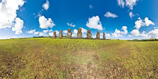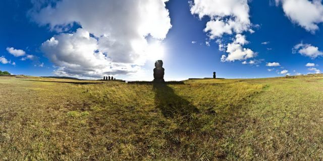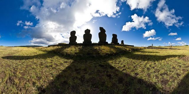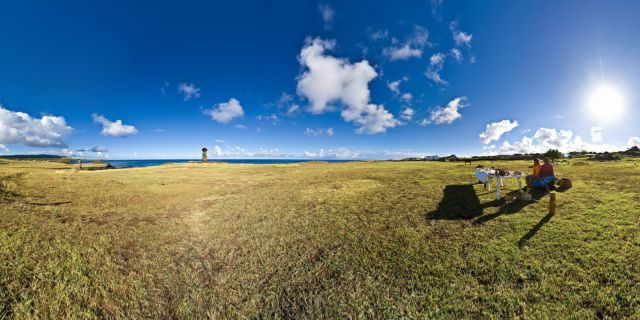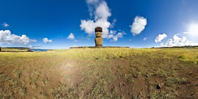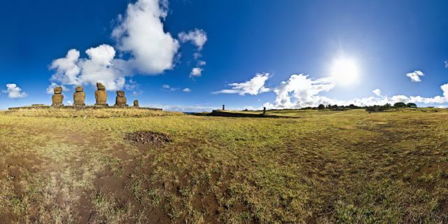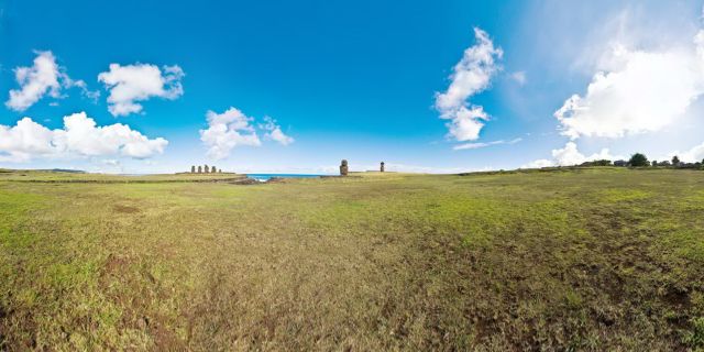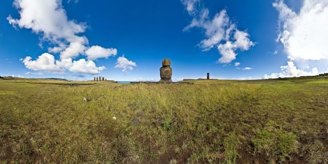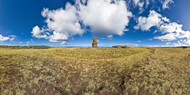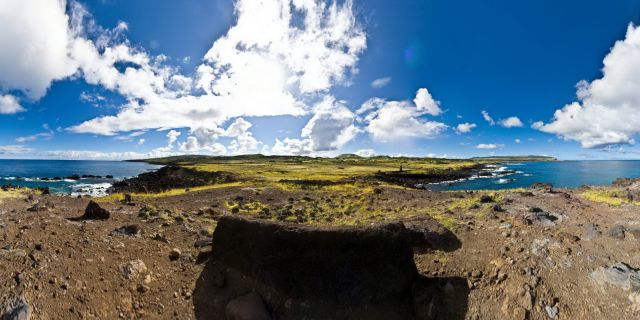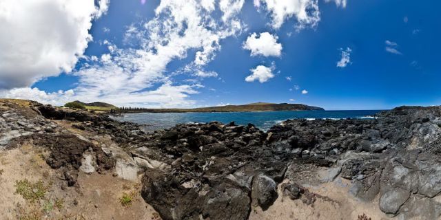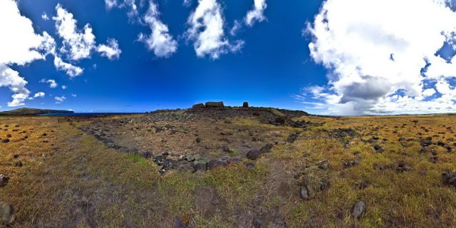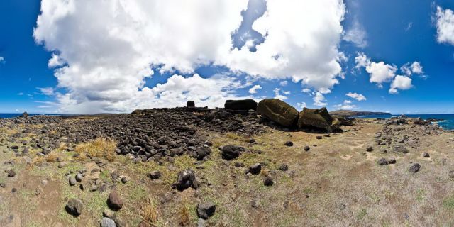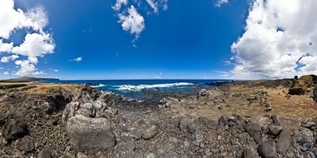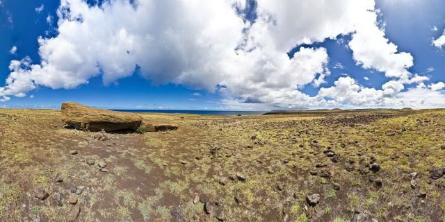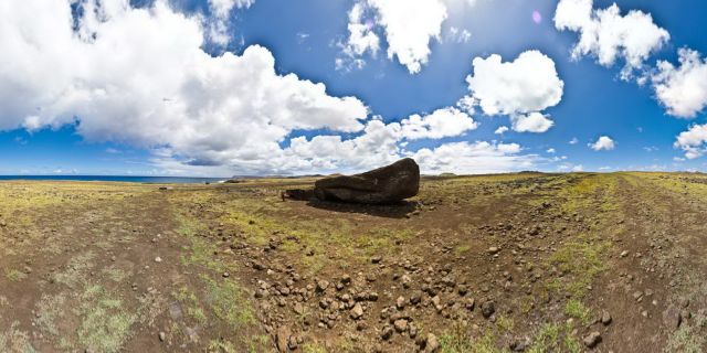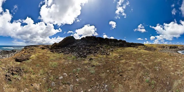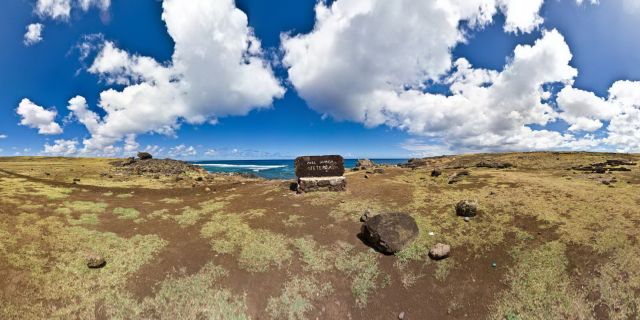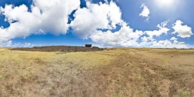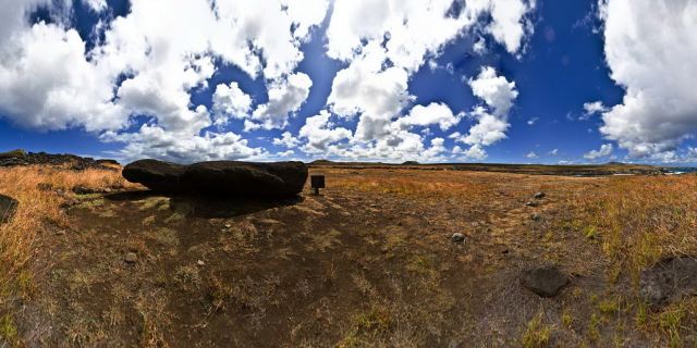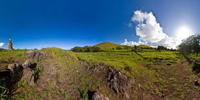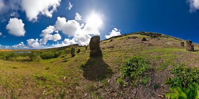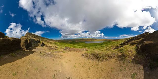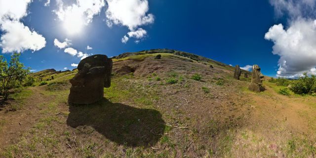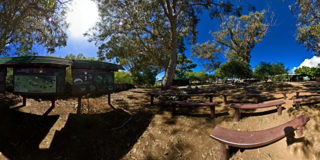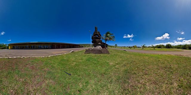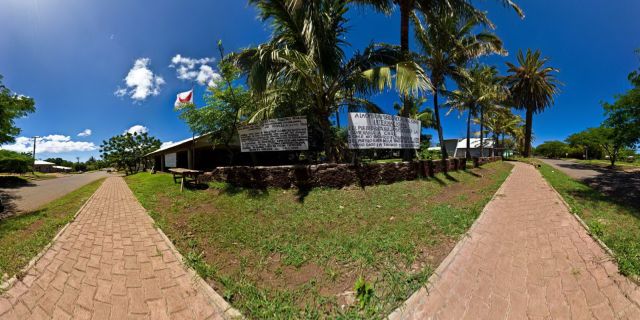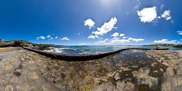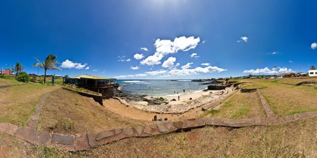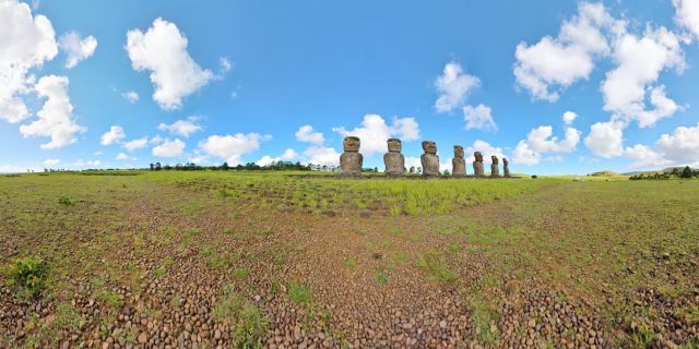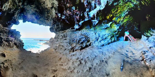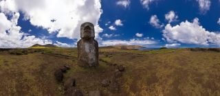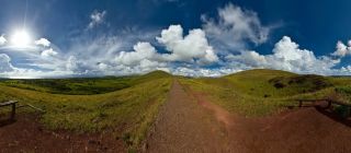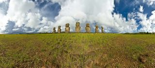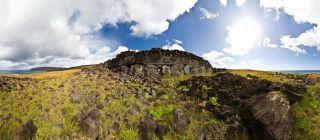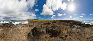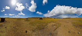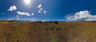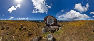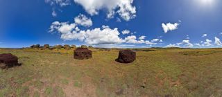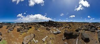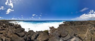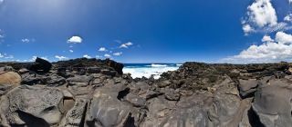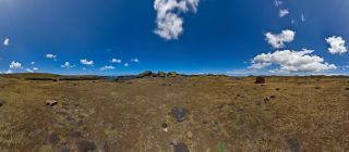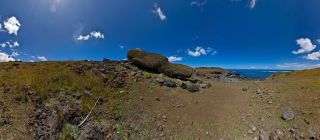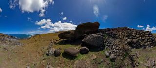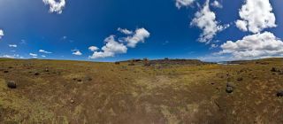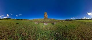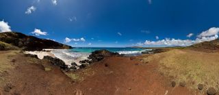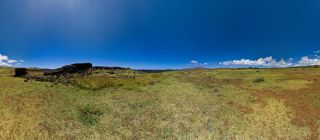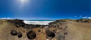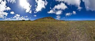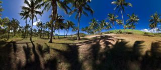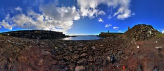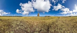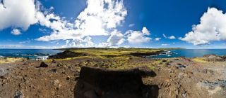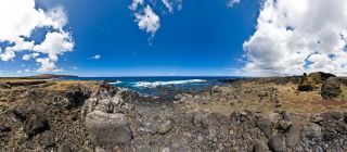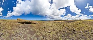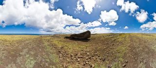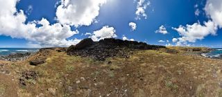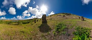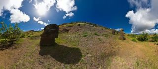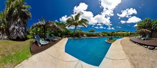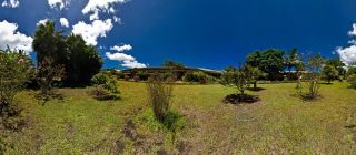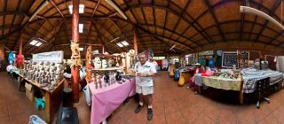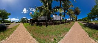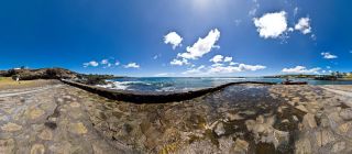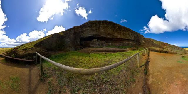
• Ahu Akahanga
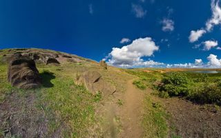
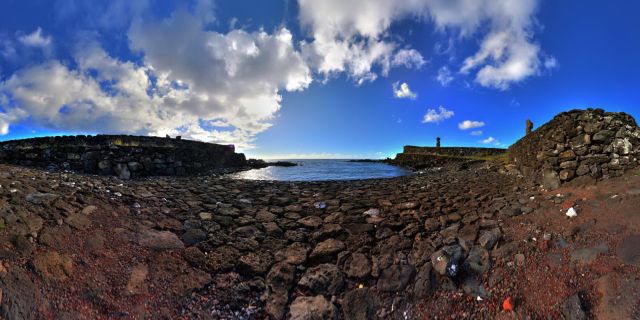
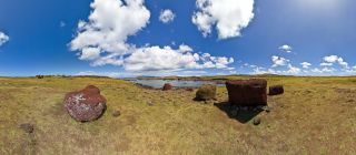
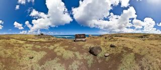
  • Ahu Te Pito Kuro
  • Ahu Akivi (Front Right)
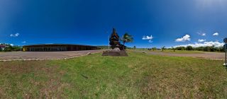
  • Orongo Village Again
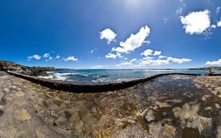
  • Surfing Hanga Roa
  • Hanga Hahave Front
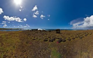
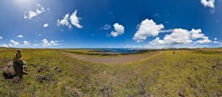
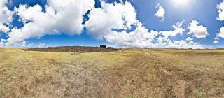
  • Papa Vaka
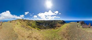
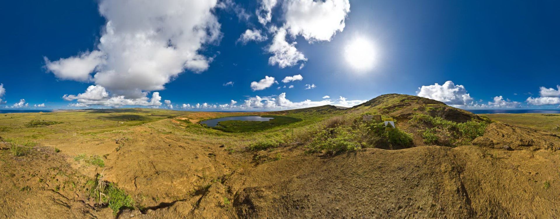
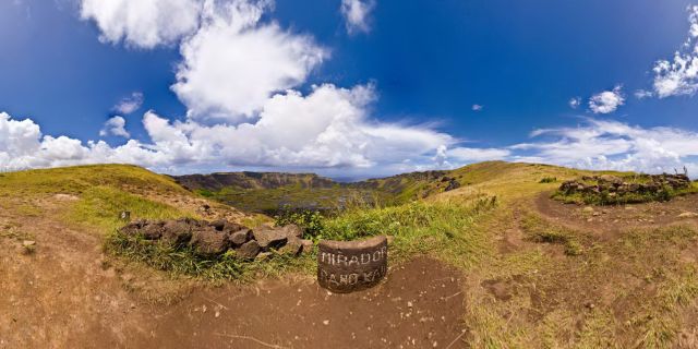
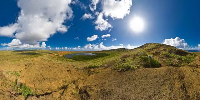
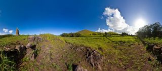
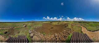
  • Rano Kau Volcano (Up the Mirador !)
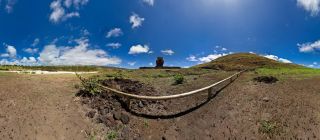
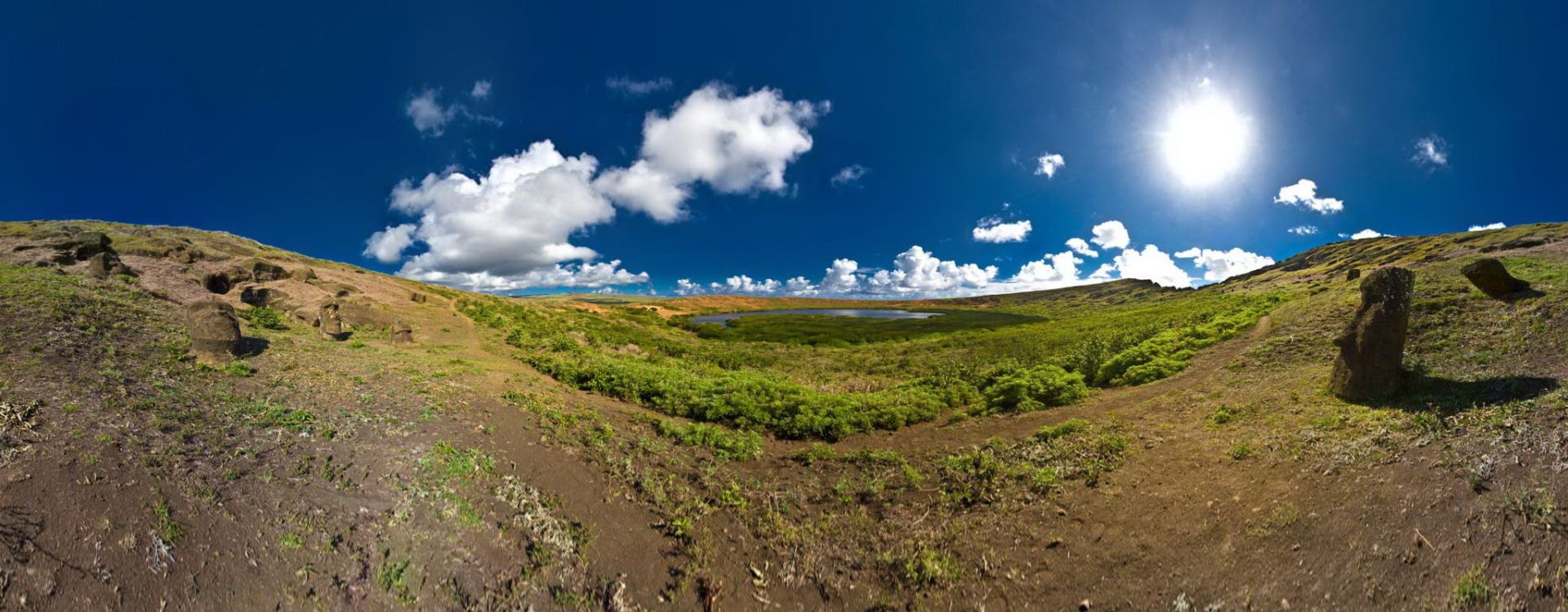
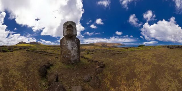
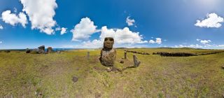
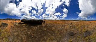
  • Lonely Moai (recto)
  • Hanga Poukura Front
Welcome to Rapa Nui 360

Easter Island in Virtual Reality

Rapa Nui 360

Let's visit a country where you'll probably never go

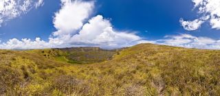
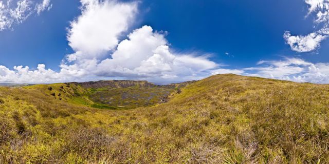
Volcano Rano Kau emerged after hundreds of thousands of years, followed by volcano Maunga Terevaka, which created the island as we know it through these eruptive processes. These three volcanos gave rise to tens of volcanic cones, providing Rapa Nui its typical relief, dotted with craters, soft hills, and lava fields. The three sides of the island triangle measure around 16, 17 and 24 Km, respectively.

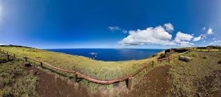
Rano Kau Volcano (From Top)

Resolution : 87 Mpixels
Date taken : 2009-02-23
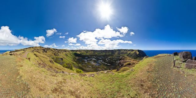
Volcano Rano Kau emerged after hundreds of thousands of years, followed by volcano Maunga Terevaka, which created the island as we know it through these eruptive processes. These three volcanos gave rise to tens of volcanic cones, providing Rapa Nui its typical relief, dotted with craters, soft hills, and lava fields. The three sides of the island triangle measure around 16, 17 and 24 Km, respectively.

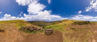
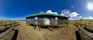
Rano Kau Volcano (Up the Mirador !)

Resolution : 68 Mpixels
Date taken : 2009-02-23
This is the entrance of Ahu Tongariki, which is the largest Ahu on Rapa Nui.

Ahu Tongariki Entrance

Resolution : 67 Mpixels
Date taken : 2009-02-23
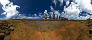
This is Ahu Tongariki, the largest Ahu on Rapa Nui. Its Moai were toppled during the island's civil wars and in the twentieth century the Ahu was swept inland by a tidal wave. It has since been restored and has 15 Moai including an 86 tonne moai that was the heaviest ever erected on the island.

Ahu Tongariki Moai (Front Left)

Resolution : 67 Mpixels
Date taken : 2009-02-23
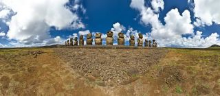
This is Ahu Tongariki, the largest Ahu on Rapa Nui. Its Moai were toppled during the island's civil wars and in the twentieth century the Ahu was swept inland by a tidal wave. It has since been restored and has 15 Moai including an 86 tonne moai that was the heaviest ever erected on the island.

Ahu Tongariki (Middle Front)

Resolution : 68 Mpixels
Date taken : 2009-02-23
This is Ahu Tongariki, the largest Ahu on Rapa Nui. Its Moai were toppled during the island's civil wars and in the twentieth century the Ahu was swept inland by a tidal wave. It has since been restored and has 15 Moai including an 86 tonne moai that was the heaviest ever erected on the island.

Ahu Tongariki (Front Right)

Resolution : 87 Mpixels
Date taken : 2009-02-23
This is Ahu Tongariki, the largest Ahu on Rapa Nui. Its Moai were toppled during the island's civil wars and in the twentieth century the Ahu was swept inland by a tidal wave. It has since been restored and has 15 Moai including an 86 tonne moai that was the heaviest ever erected on the island.

Ahu Tongariki (Fallen Moai)

Resolution : 67 Mpixels
Date taken : 2009-02-23
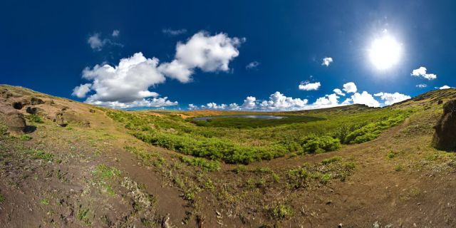
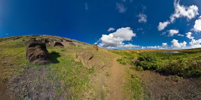
Rano Raraku is a volcanic crater formed of consolidated volcanic ash, or tuff, and located on the lower slopes of Terevaka in the Rapa Nui National Park on Easter Island. It was a quarry for about 500 years until the early eighteenth century, and supplied the stone from which about 95% of the island's known monolithic sculpture (Moai) were carved. Rano Raraku is a visual record of Moai design vocabulary and technological innovation, where 397 Moai remain. Rano Raraku is in the world heritage site of Rapa Nui National Park and gives its name to one of the seven sections of the park. Wikipedia

Rano Raraku Path

Resolution : 87 Mpixels
Date taken : 2009-02-23
Rano Raraku is a volcanic crater formed of consolidated volcanic ash, or tuff, and located on the lower slopes of Terevaka in the Rapa Nui National Park on Easter Island. It was a quarry for about 500 years until the early eighteenth century, and supplied the stone from which about 95% of the island's known monolithic sculpture (Moai) were carved. Rano Raraku is a visual record of Moai design vocabulary and technological innovation, where 397 Moai remain. Rano Raraku is in the world heritage site of Rapa Nui National Park and gives its name to one of the seven sections of the park.

Rano Raraku Hdr under the rain !

Resolution : 73 Mpixels
Date taken : 2009-02-23
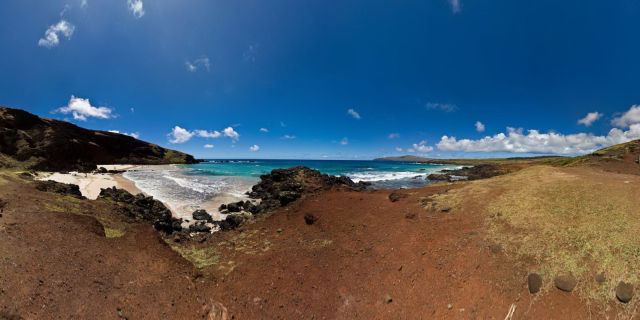
This is Ovahe Beach, one of the few beach that are available in Rapa Nui

Ovahe Beach

Resolution : 67 Mpixels
Date taken : 2009-02-23

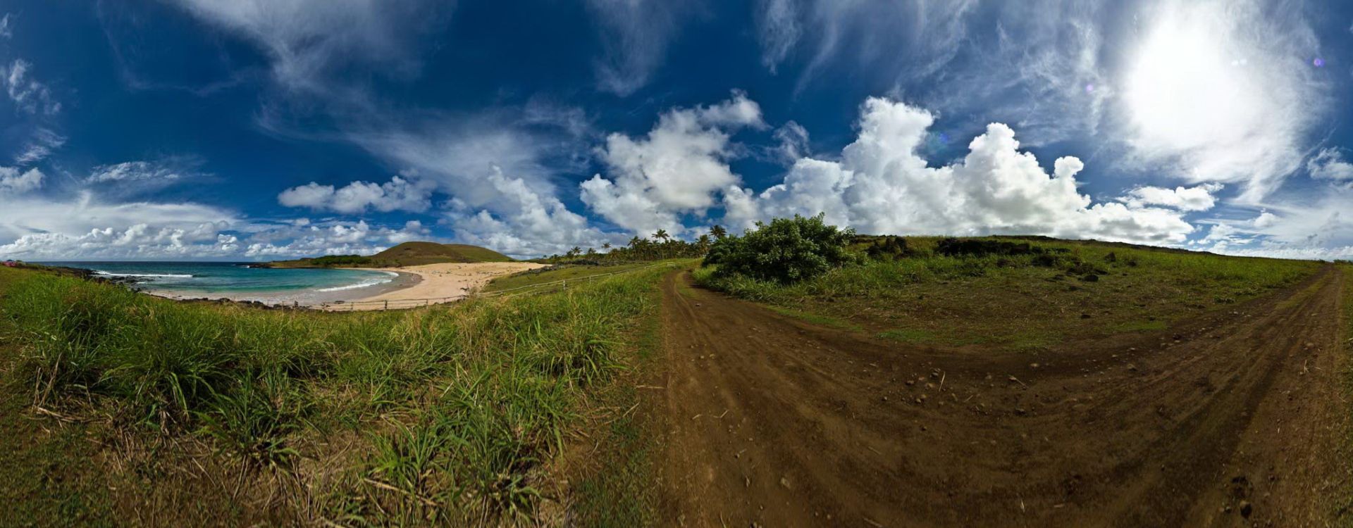
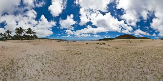
Anakena Beach PathWay

Resolution : 67 Mpixels
Date taken : 2009-02-23

Puna Pau Pukao

Resolution : 67 Mpixels
Date taken : 2009-02-23

Puna Pau

Resolution : 67 Mpixels
Date taken : 2009-02-23
This is Ahu Akivi, the only ahu where you can see moai looking at the ocean....

Ahu Akivi

Resolution : 87 Mpixels
Date taken : 2009-02-23

Hanga Hahave Front

Resolution : 67 Mpixels
Date taken : 2009-02-24

Hanga Hahave Seaside

Resolution : 68 Mpixels
Date taken : 2009-02-24

Hanga Hahave Back

Resolution : 67 Mpixels
Date taken : 2009-02-24

Hanga Hahave with Horses

Resolution : 67 Mpixels
Date taken : 2009-02-24

Hanga Poukura Seaside

Resolution : 67 Mpixels
Date taken : 2009-02-24

Hanga Poukura Back

Resolution : 67 Mpixels
Date taken : 2009-02-24

Hanga Poukura Front

Resolution : 68 Mpixels
Date taken : 2009-02-24

Ahu Tarakiu with a little Moai

Resolution : 67 Mpixels
Date taken : 2009-02-24

Ahu Tarakiu Virgin

Resolution : 67 Mpixels
Date taken : 2009-02-24

Hanga Te'E Moais

Resolution : 67 Mpixels
Date taken : 2009-02-24

Hanga Te'E Moai Hats

Resolution : 67 Mpixels
Date taken : 2009-02-24

Hanga Te'E Far (away !)

Resolution : 67 Mpixels
Date taken : 2009-02-24
Hi !

Hanga Te'E (On the road again !)

Resolution : 67 Mpixels
Date taken : 2009-02-24

Hanga Te'E Moai Alone

Resolution : 67 Mpixels
Date taken : 2009-02-24

Arriving at Baja Point

Resolution : 67 Mpixels
Date taken : 2009-02-24

Baja Point

Resolution : 67 Mpixels
Date taken : 2009-02-24

Baja Point, down the lava

Resolution : 68 Mpixels
Date taken : 2009-02-24

Ahu Ura Uranga Te Mahina

Resolution : 68 Mpixels
Date taken : 2009-02-24

Akahanga Moai alone recto

Resolution : 67 Mpixels
Date taken : 2009-02-24

Akahanga Moai Alone Verso

Resolution : 67 Mpixels
Date taken : 2009-02-24

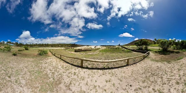
Ahu Akahanga

Resolution : 67 Mpixels
Date taken : 2009-02-24
Rano Raraku is a volcanic crater formed of consolidated volcanic ash, or tuff, and located on the lower slopes of Terevaka in the Rapa Nui National Park on Easter Island. It was a quarry for about 500 years until the early eighteenth century, and supplied the stone from which about 95% of the island's known monolithic sculpture (Moai) were carved. Rano Raraku is a visual record of Moai design vocabulary and technological innovation, where 397 Moai remain. Rano Raraku is in the world heritage site of Rapa Nui National Park and gives its name to one of the seven sections of the park. Wikipedia

Rano Raraku (External Slope 01 of 13)

Resolution : 67 Mpixels
Date taken : 2009-02-24
Rano Raraku is a volcanic crater formed of consolidated volcanic ash, or tuff, and located on the lower slopes of Terevaka in the Rapa Nui National Park on Easter Island. It was a quarry for about 500 years until the early eighteenth century, and supplied the stone from which about 95% of the island's known monolithic sculpture (Moai) were carved. Rano Raraku is a visual record of Moai design vocabulary and technological innovation, where 397 Moai remain. Rano Raraku is in the world heritage site of Rapa Nui National Park and gives its name to one of the seven sections of the park. Wikipedia

Rano Raraku (External Slope 02 of 13)

Resolution : 67 Mpixels
Date taken : 2009-02-24
Rano Raraku is a volcanic crater formed of consolidated volcanic ash, or tuff, and located on the lower slopes of Terevaka in the Rapa Nui National Park on Easter Island. It was a quarry for about 500 years until the early eighteenth century, and supplied the stone from which about 95% of the island's known monolithic sculpture (Moai) were carved. Rano Raraku is a visual record of Moai design vocabulary and technological innovation, where 397 Moai remain. Rano Raraku is in the world heritage site of Rapa Nui National Park and gives its name to one of the seven sections of the park. Wikipedia

Rano Raraku (External Slope 03 of 13)

Resolution : 67 Mpixels
Date taken : 2009-02-24
Rano Raraku is a volcanic crater formed of consolidated volcanic ash, or tuff, and located on the lower slopes of Terevaka in the Rapa Nui National Park on Easter Island. It was a quarry for about 500 years until the early eighteenth century, and supplied the stone from which about 95% of the island's known monolithic sculpture (Moai) were carved. Rano Raraku is a visual record of Moai design vocabulary and technological innovation, where 397 Moai remain. Rano Raraku is in the world heritage site of Rapa Nui National Park and gives its name to one of the seven sections of the park. Wikipedia

Rano Raraku

Resolution : 67 Mpixels
Date taken : 2009-02-24
Rano Raraku is a volcanic crater formed of consolidated volcanic ash, or tuff, and located on the lower slopes of Terevaka in the Rapa Nui National Park on Easter Island. It was a quarry for about 500 years until the early eighteenth century, and supplied the stone from which about 95% of the island's known monolithic sculpture (Moai) were carved. Rano Raraku is a visual record of Moai design vocabulary and technological innovation, where 397 Moai remain. Rano Raraku is in the world heritage site of Rapa Nui National Park and gives its name to one of the seven sections of the park. Wikipedia

Rano Raraku (External Slope 05 of 13)

Resolution : 67 Mpixels
Date taken : 2009-02-24
At the horizon far away, you can see Ahu Tongariki Rano Raraku is a volcanic crater formed of consolidated volcanic ash, or tuff, and located on the lower slopes of Terevaka in the Rapa Nui National Park on Easter Island. It was a quarry for about 500 years until the early eighteenth century, and supplied the stone from which about 95% of the island's known monolithic sculpture (Moai) were carved. Rano Raraku is a visual record of Moai design vocabulary and technological innovation, where 397 Moai remain. Rano Raraku is in the world heritage site of Rapa Nui National Park and gives its name to one of the seven sections of the park. Wikipedia

Rano Raraku (External Slope 06 of 13)

Resolution : 67 Mpixels
Date taken : 2009-02-24
This is an unfinished Moai...Enjoy the work in progress... Rano Raraku is a volcanic crater formed of consolidated volcanic ash, or tuff, and located on the lower slopes of Terevaka in the Rapa Nui National Park on Easter Island. It was a quarry for about 500 years until the early eighteenth century, and supplied the stone from which about 95% of the island's known monolithic sculpture (Moai) were carved. Rano Raraku is a visual record of Moai design vocabulary and technological innovation, where 397 Moai remain. Rano Raraku is in the world heritage site of Rapa Nui National Park and gives its name to one of the seven sections of the park. Wikipedia

Rano Raraku (External Slope 07 of 13) : Moai in progress !

Resolution : 67 Mpixels
Date taken : 2009-02-24
Here is Nano at work... Nano is a native Rapa Nui Guide working for Discover Rapa Nui ... Rano Raraku is a volcanic crater formed of consolidated volcanic ash, or tuff, and located on the lower slopes of Terevaka in the Rapa Nui National Park on Easter Island. It was a quarry for about 500 years until the early eighteenth century, and supplied the stone from which about 95% of the island's known monolithic sculpture (Moai) were carved. Rano Raraku is a visual record of Moai design vocabulary and technological innovation, where 397 Moai remain. Rano Raraku is in the world heritage site of Rapa Nui National Park and gives its name to one of the seven sections of the park. Wikipedia

043 Rano Raraku (External Slope 08 of 13)

Resolution : 67 Mpixels
Date taken : 2009-02-24
Rano Raraku is a volcanic crater formed of consolidated volcanic ash, or tuff, and located on the lower slopes of Terevaka in the Rapa Nui National Park on Easter Island. It was a quarry for about 500 years until the early eighteenth century, and supplied the stone from which about 95% of the island's known monolithic sculpture (Moai) were carved. Rano Raraku is a visual record of Moai design vocabulary and technological innovation, where 397 Moai remain. Rano Raraku is in the world heritage site of Rapa Nui National Park and gives its name to one of the seven sections of the park. Wikipedia

Rano Raraku (External Slope 09 of 13)

Resolution : 67 Mpixels
Date taken : 2009-02-24
Rano Raraku is a volcanic crater formed of consolidated volcanic ash, or tuff, and located on the lower slopes of Terevaka in the Rapa Nui National Park on Easter Island. It was a quarry for about 500 years until the early eighteenth century, and supplied the stone from which about 95% of the island's known monolithic sculpture (Moai) were carved. Rano Raraku is a visual record of Moai design vocabulary and technological innovation, where 397 Moai remain. Rano Raraku is in the world heritage site of Rapa Nui National Park and gives its name to one of the seven sections of the park. Wikipedia

Rano Raraku (External Slope 10 of 13)

Resolution : 67 Mpixels
Date taken : 2009-02-24
Rano Raraku is a volcanic crater formed of consolidated volcanic ash, or tuff, and located on the lower slopes of Terevaka in the Rapa Nui National Park on Easter Island. It was a quarry for about 500 years until the early eighteenth century, and supplied the stone from which about 95% of the island's known monolithic sculpture (Moai) were carved. Rano Raraku is a visual record of Moai design vocabulary and technological innovation, where 397 Moai remain. Rano Raraku is in the world heritage site of Rapa Nui National Park and gives its name to one of the seven sections of the park. Wikipedia В 

Rano Raraku (External Slope 11 of 13)

Resolution : 67 Mpixels
Date taken : 2009-02-24
Rano Raraku is a volcanic crater formed of consolidated volcanic ash, or tuff, and located on the lower slopes of Terevaka in the Rapa Nui National Park on Easter Island. It was a quarry for about 500 years until the early eighteenth century, and supplied the stone from which about 95% of the island's known monolithic sculpture (Moai) were carved. Rano Raraku is a visual record of Moai design vocabulary and technological innovation, where 397 Moai remain. Rano Raraku is in the world heritage site of Rapa Nui National Park and gives its name to one of the seven sections of the park. Wikipedia

Rano Raraku (External Slope 12 of 13)

Resolution : 67 Mpixels
Date taken : 2009-02-24
Rano Raraku is a volcanic crater formed of consolidated volcanic ash, or tuff, and located on the lower slopes of Terevaka in the Rapa Nui National Park on Easter Island. It was a quarry for about 500 years until the early eighteenth century, and supplied the stone from which about 95% of the island's known monolithic sculpture (Moai) were carved. Rano Raraku is a visual record of Moai design vocabulary and technological innovation, where 397 Moai remain. Rano Raraku is in the world heritage site of Rapa Nui National Park and gives its name to one of the seven sections of the park. Wikipedia

Rano Raraku (External Slope 13 of 13)

Resolution : 67 Mpixels
Date taken : 2009-02-24

Ana Kai Tangata

Resolution : 68 Mpixels
Date taken : 2009-02-25
The ceremonial center of Ahu Vinapu includes one of the larger ahu on Rapa Nui.

Ahu Vinapu Ceremonial Center

Resolution : 76 Mpixels
Date taken : 2009-02-25
Ahu Vinapu, Rapa Nui .  The ceremonial center of Vinapu includes one of the larger ahu on Rapa Nui.

Ahu Vinapu

Resolution : 75 Mpixels
Date taken : 2009-02-25
Ahu Vinapu is archaeological site on Rapa Nui in Chilean Polynesia.  The ceremonial center of Vinapu includes one of the larger ahu on Rapa Nui. The ahu exhibits extraordinary stonemasonry consisting of large, carefully fitted slabs of basalt.

Sunrise on Ahu Vinapu

Resolution : 87 Mpixels
Date taken : 2009-02-25
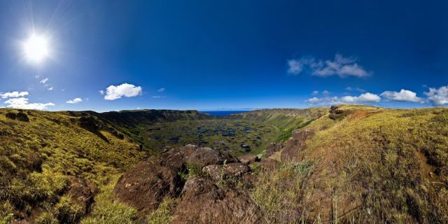
Rano Kau is a 324 m (1,063 ft) tall extinct volcano that forms the southwestern headland of Easter Island... В 

(Nearly) Inside Rano Kau Volcano

Resolution : 67 Mpixels
Date taken : 2009-02-25
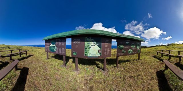
(lot of stuff to read directly on the pano) Orongo is a stone village and ceremonial center at the southwestern tip of Rapa Nui. Until the mid-nineteenth century  Orongo was the center of the birdman cult, which hosted an annual race to bring the first manutara (sooty tern) egg from the islet of Motu Nui to Orongo. The site has numerous petroglyphs, mainly of tangata manu (birdmen). The motus (small islands) are Motu Iti and Motu Nui.

Orongo Village, main entrance

Resolution : 87 Mpixels
Date taken : 2009-02-25
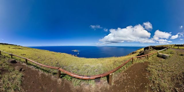
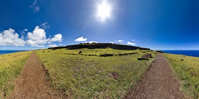
Orongo is a stone village and ceremonial center at the southwestern tip of Rapa Nui. Until the mid-nineteenth century  Orongo was the center of the birdman cult, which hosted an annual race to bring the first manutara (sooty tern) egg from the islet of Motu Nui to Orongo. The site has numerous petroglyphs, mainly of tangata manu (birdmen). The motus (small islands) are Motu Iti and Motu Nui.

Orongo Village Again

Resolution : 67 Mpixels
Date taken : 2009-02-25
Orongo is a stone village and ceremonial center at the southwestern tip of Rapa Nui. Until the mid-nineteenth century  Orongo was the center of the birdman cult, which hosted an annual race to bring the first manutara (sooty tern) egg from the islet of Motu Nui to Orongo. The site has numerous petroglyphs, mainly of tangata manu (birdmen). The motus (small islands) are Motu Iti and Motu Nui.

Orongo PathWay

Resolution : 88 Mpixels
Date taken : 2009-02-25
Orongo is a stone village and ceremonial center at the southwestern tip of Rapa Nui. Until the mid-nineteenth century  Orongo was the center of the birdman cult, which hosted an annual race to bring the first manutara (sooty tern) egg from the islet of Motu Nui to Orongo. The site has numerous petroglyphs, mainly of tangata manu (birdmen). The motus (small islands) are Motu Iti and Motu Nui.

Orongo Pathway (SomeWhere else)

Resolution : 87 Mpixels
Date taken : 2009-02-25
Orongo is a stone village and ceremonial center at the southwestern tip of Rapa Nui. Until the mid-nineteenth century  Orongo was the center of the birdman cult, which hosted an annual race to bring the first manutara (sooty tern) egg from the islet of Motu Nui to Orongo. The site has numerous petroglyphs, mainly of tangata manu (birdmen). The motus (small islands) are Motu Iti and Motu Nui.

Orongo & The Motu

Resolution : 68 Mpixels
Date taken : 2009-02-25
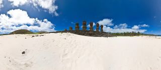
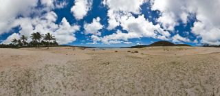
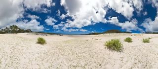
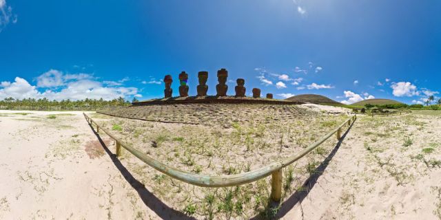
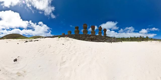
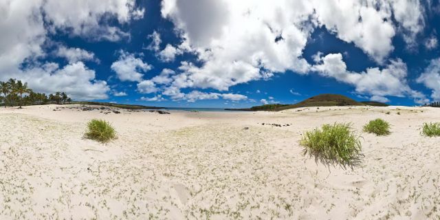
Anakena is a white coral sand beach in Rapa Nui National Park on Rapa Nui (Easter Island)

Anakena Moais (Front)

Resolution : 67 Mpixels
Date taken : 2009-02-25
Anakena is a white coral sand beach in Rapa Nui National Park on Rapa Nui (Easter Island)

Anakena Beach (Far Away)

Resolution : 67 Mpixels
Date taken : 2009-02-25
Anakena is a white coral sand beach in Rapa Nui National Park on Rapa Nui (Easter Island)

Anakena Beach : Moai Alone

Resolution : 67 Mpixels
Date taken : 2009-02-25
Anakena is a white coral sand beach in Rapa Nui National Park on Rapa Nui (Easter Island)

Anakena (Back)

Resolution : 87 Mpixels
Date taken : 2009-02-25
Anakena is a white coral sand beach in Rapa Nui National Park on Rapa Nui (Easter Island)

Anakena Beach (Cloudy Version)

Resolution : 67 Mpixels
Date taken : 2009-02-25
Anakena is a white coral sand beach in Rapa Nui National Park on Rapa Nui (Easter Island)

Anakena Beach (Sunny Version)

Resolution : 87 Mpixels
Date taken : 2009-02-25

Surfing Ovahe Beach

Resolution : 67 Mpixels
Date taken : 2009-02-25

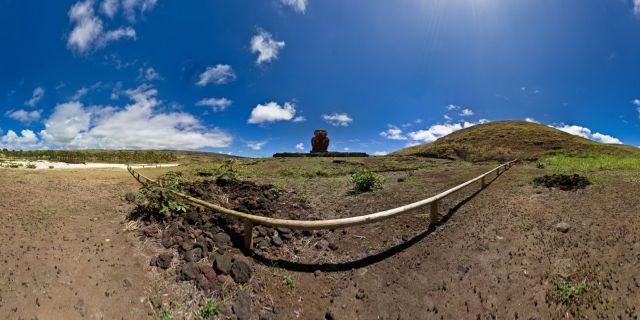
Ahu Te Pito Kuro

Resolution : 67 Mpixels
Date taken : 2009-02-25

Papa Vaka

Resolution : 67 Mpixels
Date taken : 2009-02-25

Bahia de le Perouse

Resolution : 67 Mpixels
Date taken : 2009-02-25
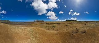
Ahu Tongariki is the largest Ahu on Easter Island. Its Moai were toppled during the island's civil wars and in the twentieth century the Ahu was swept inland by a tidal wave. It has since been restored and has 15 Moai including an 86 tonne moai that was the heaviest ever erected on the island. Ahu Tongariki is close to Rano Raraku and Poike in the Rapa Nui National Park. Wikipedia

Ahu Tongariki (So Far Away)

Resolution : 87 Mpixels
Date taken : 2009-02-25
Ahu Tongariki is the largest Ahu on Rapa Nui/Easter Island. Its Moai were toppled during the island's civil wars and in the twentieth century the Ahu was swept inland by a tidal wave. It has since been restored and has 15 Moai including an 86 tonne moai that was the heaviest ever erected on the island. Ahu Tongariki is close to Rano Raraku and Poike in the Rapa Nui National Park. Wikipedia

Another Day At Tongariki (View from back)

Resolution : 67 Mpixels
Date taken : 2009-02-25
Ahu Tongariki is the largest Ahu on Rapa Nui/Easter Island. Its Moai were toppled during the island's civil wars and in the twentieth century the Ahu was swept inland by a tidal wave. It has since been restored and has 15 Moai including an 86 tonne moai that was the heaviest ever erected on the island. Ahu Tongariki is close to Rano Raraku and Poike in the Rapa Nui National Park. Wikipedia

Another Day At Tongariki (Front Center)

Resolution : 67 Mpixels
Date taken : 2009-02-25
Ahu Tongariki is the largest Ahu on Rapa Nui/Easter Island. Its Moai were toppled during the island's civil wars and in the twentieth century the Ahu was swept inland by a tidal wave. It has since been restored and has 15 Moai including an 86 tonne moai that was the heaviest ever erected on the island. Ahu Tongariki is close to Rano Raraku and Poike in the Rapa Nui National Park. Wikipedia

Ahu Tongariki (Again)

Resolution : 87 Mpixels
Date taken : 2009-02-25
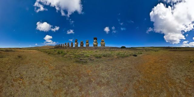
Ahu Tongariki is the largest Ahu on Rapa Nui/Easter Island. Its Moai were toppled during the island's civil wars and in the twentieth century the Ahu was swept inland by a tidal wave. It has since been restored and has 15 Moai including an 86 tonne moai that was the heaviest ever erected on the island. Ahu Tongariki is close to Rano Raraku and Poike in the Rapa Nui National Park. Wikipedia

Another Day At Ahu Tongariki (Wiew from Front Right)

Resolution : 67 Mpixels
Date taken : 2009-02-25
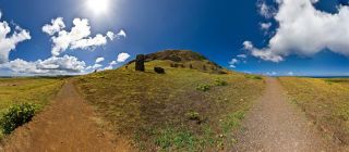
Ahu Tongariki is the largest Ahu on Rapa Nui/Easter Island. Its Moai were toppled during the island's civil wars and in the twentieth century the Ahu was swept inland by a tidal wave. It has since been restored and has 15 Moai including an 86 tonne moai that was the heaviest ever erected on the island. Ahu Tongariki is close to Rano Raraku and Poike in the Rapa Nui National Park. Wikipedia

Another Day At Tongariki (The Lonely Moai)

Resolution : 66 Mpixels
Date taken : 2009-02-25
This is a nearly global view of rano raraku quarry....
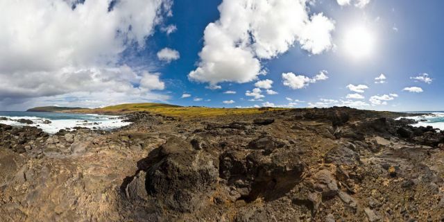
On My Way To Rano Raraku

Resolution : 68 Mpixels
Date taken : 2009-02-25
Probably the only palmtrees of Rapa Nui !!....
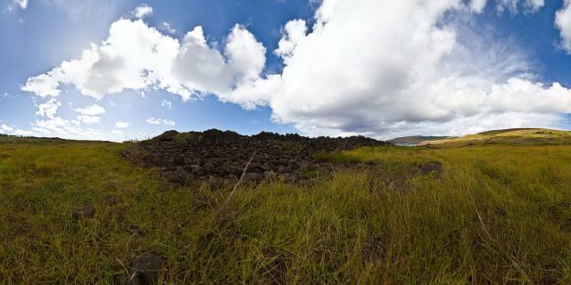
On My Way To Anakena Beach

Resolution : 67 Mpixels
Date taken : 2009-02-25
Unlike other Rapa Nui ceremonial centers with ahu, the Akivi-Vaiteka Complex is not located on the coast. In contrast to the monumental statuary at other sites on the island, the moai at Ahu Akivi face the ocean.
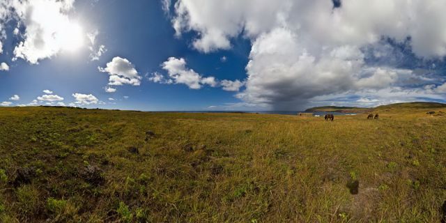
Ahu Akivi (Front)

Resolution : 67 Mpixels
Date taken : 2009-02-25
Unlike other Rapa Nui ceremonial centers with ahu, the Akivi-Vaiteka Complex is not located on the coast. In contrast to the monumental statuary at other sites on the island, the moai at Ahu Akivi face the ocean.

Ahu Akivi (Front Right)

Resolution : 70 Mpixels
Date taken : 2009-02-25
Unlike other Rapa Nui ceremonial centers with ahu, the Akivi-Vaiteka Complex is not located on the coast. In contrast to the monumental statuary at other sites on the island, the moai at Ahu Akivi face the ocean.

Ahu Akivi (Back)

Resolution : 67 Mpixels
Date taken : 2009-02-25
The Tahai Ceremonial Complex is an archaeological site on Rapa Nui (Easter Island) in Chilean Polynesia. Restored in 1974 by the late Dr. William Mulloy, an American archaeologist, Tahai comprises three principal ahu from north to south: Ko Te Riku (with restored eyes), Tahai, and Vai Ure.

Tahai Hanga Kio E Ahu Ko Te Riku

Resolution : 67 Mpixels
Date taken : 2009-02-26
The Tahai Ceremonial Complex is an archaeological site on Rapa Nui . Restored in 1974 by the late Dr. William Mulloy, an American archaeologist, Tahai comprises three principal ahu from north to south: Ko Te Riku (with restored eyes), Tahai, and Vai Ure.

Tahai Hanga Kio E Ahu Tahai

Resolution : 87 Mpixels
Date taken : 2009-02-26
The Tahai Ceremonial Complex is an archaeological site on Rapa Nui (Easter Island). Tahai comprises three principal ahu from north to south: Ko Te Riku (with restored eyes), Tahai, and Vai Ure.

Tahai Hanga Kio E Ahu Vai Uri at Sunset

Resolution : 87 Mpixels
Date taken : 2009-02-26
The Tahai Ceremonial Complex is an archaeological site on Rapa Nui. Restored in 1974 by the late Dr. William Mulloy, an American archaeologist, Tahai comprises three principal ahu from north to south: Ko Te Riku (with restored eyes), Tahai, and Vai Ure.

Tahai Hanga Kio E At Sunrise With Rapa Nui Women

Resolution : 67 Mpixels
Date taken : 2009-02-26
The Tahai Ceremonial Complex is an archaeological site restored in 1974. Tahai comprises three principal ahu from north to south: Ko Te Riku (with restored eyes), Tahai, and Vai Ure.

Tahai At Sunrise : Ahu Ko Te Riku

Resolution : 67 Mpixels
Date taken : 2009-02-26
The Tahai Ceremonial Complex is an archaeological site on Rapa Nu. Tahai comprises three principal ahu from north to south: Ko Te Riku (with restored eyes), Tahai, and Vai Ure.

Tahai In The Morning : Ahu Vai Uri

Resolution : 67 Mpixels
Date taken : 2009-02-26
The Tahai Ceremonial Complex is an archaeological site on Rapa Nui. Tahai comprises three principal ahu from north to south: Ko Te Riku (with restored eyes), Tahai, and Vai Ure.

Tahai : In The Middle

Resolution : 87 Mpixels
Date taken : 2009-02-26
The Tahai Ceremonial Complex is an archaeological site on Rapa Nu. Tahai comprises three principal ahu from north to south: Ko Te Riku (with restored eyes), Tahai, and Vai Ure.

Ahu Tahai

Resolution : 67 Mpixels
Date taken : 2009-02-26

Hanga Kio E

Resolution : 67 Mpixels
Date taken : 2009-02-26

Hanga Kio'E - Up The Cliff

Resolution : 67 Mpixels
Date taken : 2009-02-26

Caleta Otu Iti

Resolution : 87 Mpixels
Date taken : 2009-02-26

Ahu One Makihi

Resolution : 67 Mpixels
Date taken : 2009-02-26

One Makihi (Seen from Back)

Resolution : 67 Mpixels
Date taken : 2009-02-26

Ahu One Makihi (Back Again)

Resolution : 87 Mpixels
Date taken : 2009-02-26

Lonely Moai (recto)

Resolution : 67 Mpixels
Date taken : 2009-02-26

Lonely Moai (verso)

Resolution : 67 Mpixels
Date taken : 2009-02-26

Hanga Tetenga (Side)

Resolution : 67 Mpixels
Date taken : 2009-02-26

Hanga Tetenga

Resolution : 67 Mpixels
Date taken : 2009-02-26

Broken Moai from Ahu Tetenga

Resolution : 67 Mpixels
Date taken : 2009-02-26

Ahu Runga Va'E

Resolution : 67 Mpixels
Date taken : 2009-02-26

Huri A Urenga

Resolution : 67 Mpixels
Date taken : 2009-02-27
Search for the moai ! (they are almost everywhere !) Rano Raraku was the quarry that produced about 95% of the island's known monolithic sculpture (Moai).

Rano Raraku : On The Edge Of The Cratere

Resolution : 87 Mpixels
Date taken : 2009-02-27
This was one of my best experience on Ister Island... Early in the morning, and alone inside this fabulous place, with horses and Moais Rano Raraku was the quarry wich supplied the stone from which about 95% of the island's known Moai.
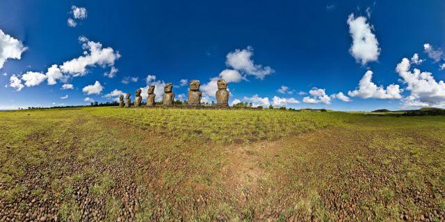
Inside Rano Raraku : Approaching Moai Land

Resolution : 66 Mpixels
Date taken : 2009-02-27
Don't forget to enjoy this fabulous place !! Rano Raraku was the quarry wich supplied the stone from which about 95% of the island's known Moai were carved.

Inside Rano Raraku : The Moai Quarry

Resolution : 67 Mpixels
Date taken : 2009-02-27

Inside Rano Raraku : The Open Air Museum

Resolution : 67 Mpixels
Date taken : 2009-02-27
If you look through the gap of the volcano, you can see Ahu Tongariki . Inside the volcano, there are moai everywhere... Rano Raraku was the quarry wich supplied the stone from which about 95% of the island's known Moai were carved.
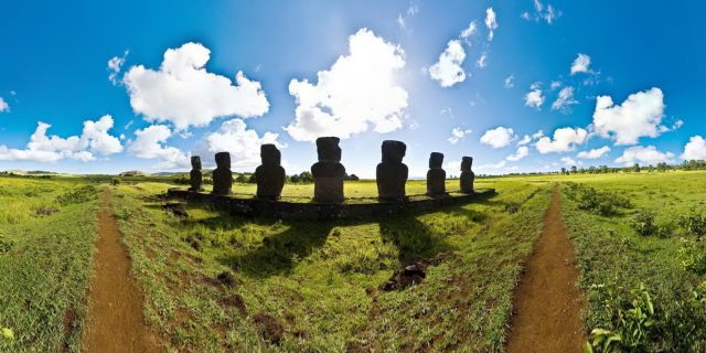
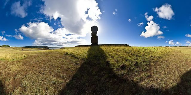
Inside Rano Raraku : The Top Of The Crater

Resolution : 87 Mpixels
Date taken : 2009-02-27

Inside Rano Raraku : Moai Land

Resolution : 67 Mpixels
Date taken : 2009-02-27
Please read more interesting things directly on the pano... Rano Raraku was a quarry for about 500 years until the early eighteenth century, and supplied the stone from which about 95% of the island's known monolithic sculpture (Moai) were carved.
Welcome To Rano Raraku

Resolution : 67 Mpixels
Date taken : 2009-02-27
This is the place where happen Haka Pei. Haka Pei is acompetition in the Tapati festival where two banana tree stumps are tied together and used as a sled.В  The competitor lies, back down with feet facing downhill, on the sled and slide down a hill.В  The competitors are judged by speed and by their ability to stay on the sled throughout the duration of the slide.В  Check this youtube video, if you wanna see more...

Haka Pei

Resolution : 67 Mpixels
Date taken : 2009-02-27

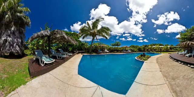
Hotel Otai : The Swiming Pool

Resolution : 67 Mpixels
Date taken : 2009-02-27

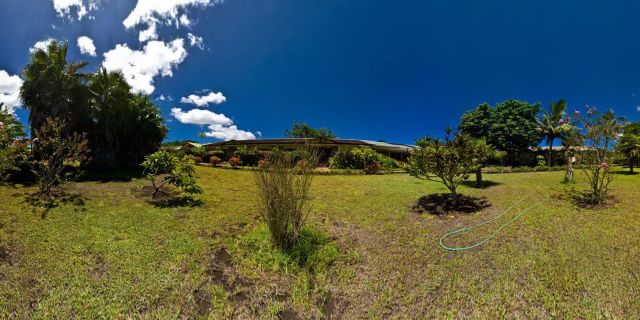
Hotel Otai : The Garden

Resolution : 86 Mpixels
Date taken : 2009-02-27

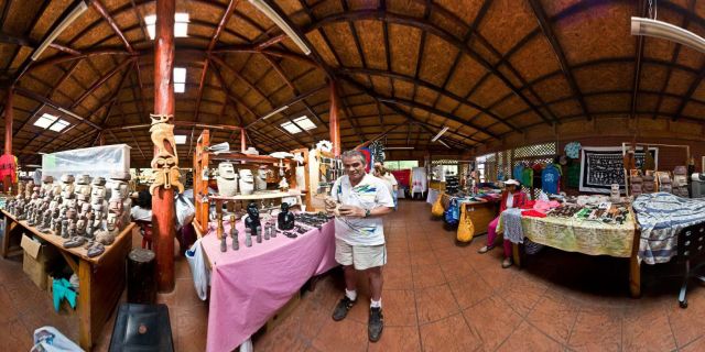
Say Hello to Orlando Lagos

Resolution : 67 Mpixels
Date taken : 2009-02-28
Since in the years 1970 NASA proceeded to the enlarging of the aerodrome of Mataveri, thus creating an emergency landing strip for the space shuttles, the large transport aircrafts can from now on land on this airport, more isolated from the world. This enlarging caused to increase the tourist frequentation of the island, which represents the first source of revenue today. The number of tourists remains however very limited compared to other tourist island. For reasons stated further below in this caption text, planes would approach and land exclusively from the northern end towards the southern end and lift off from the southern end towards the northern end.  Also, this is the only runway whatsoever within about 4000km. This means that airplanes bound for the island have to carry sufficient fuel for twice that distance - in case that landing on the island proves impossible for any reason and the aircraft has to proceed to the nearest available airport. This would be Tahiti or the Chilean coast. Pitcairn, the nearest inhabited land to the west, has no airstrip, and the nearest airstrip to the west at [...] is too short for long-range commercial airplanes.  The rest is Pacific Ocean.  As you can nearly see, the runway is not only short (3318m today from originally less than 3000m), but also, you better make best use of its length, or you end up not at elevation 10m above sea level, but at 2000m below it. It is a steep drop beyond the shore.  The Boeing 707 models operated by Lan Chile for the flight route from Santiago de Chile to Easter Island and then onwards to Papeete, Tahiti without fully refueling were custom-modified in order to extend their range so that they would be able to make the stretch.  Easter Island has no proper jet refueling facility. When plans were made by the Chilean government to build one, worldwide protests in favor of the preservation of the natural state of the island eventually led to the plans being abandoned.  So the 707s had a reduced passenger seating and cargo configuration and a supplemental full-height fuel tank installed in the aft section.so that they could land on Easter Island, lift off and continue on to Tahiti, where they would fully refuel for the first time after having left Santiago de Chile.  The modified 707 was back then the only long-distance passenger aircraft which could take that trip. That machine is still in service and is now operated by the Chilean army for civilian supplies and government cargo flights to the island.  A ship visited the island twice a year to bring regular supplies and fuel.  Also take note that the runway, now 3318m long after being extended by NASA in 1984 in order to accomodate an emergency Space Shuttle landing, was shorter in the 1970s. Check Wikipedia and you will see that the earlier 707 models had a landing and takeoff run longer than the actual length of the runway at IPC. In order to make up for that, they made use of a special topological feature of the runway:  The runway of Mataveri International Airport IPC is not horizontally level, but sloped by about five degrees. The 707s landing at IPC land uphill and take off downhill taking advantage of the gravitational acceleration and deceleration forces providing or reducing kinetic energy in order to make up for its insufficient length.  Starting pilots would take their 707s all the way to the southern end of the runway, turn the plane around almost on the spot, apply the brakes, turn their engines up to maximum emergency power, wait until the landing gear almost started to skid, and then let go off the brakes. Similarly, landing pilots would slow down their planes close to minimum control speed, below the minimum specified approach and landing speed, and close to the lower tolerance limit for the aircraft, hit the runway within its first meters fairly hard and applied maximum possible braking and reverse thrust power to get the aircraft to stop before it ran out of runway.

Mataveri Runway

Resolution : 87 Mpixels
Date taken : 2009-02-28
Mataveri International Airport or Isla de Pascua Airport (IATA: IPC, ICAO: SCIP) is located at Hanga Roa on Rapa Nui (Easter Island) (Isla de Pascua in Spanish). The most remote airport in the world, Mataveri International Airport is 3,759 kilometres (2,336 mi) from Santiago, Chile which has scheduled flights to it on the Chilean carrier LAN Airlines (formerly LanChile), and 2,603 kilometres (1,617 mi) from Mangareva in the Gambier Islands. The runway starts just inland from the island's southwest coast at Mataveri and nearly reaches the south coast, almost separating the mountain of Rano Kau from the rest of the island.В  The airport is the main point of entry for thousands of tourists who come to Easter Island to see its famous Moai and other archaeological sites. The airport contains a restaurant/bar, several souvenir shops, as well as a baggage claim area where most of the island's hotels and guesthouses have kiosks. The airport also has a transit lounge used by passengers who are continuing on to or from Papeete, Tahiti, which is also serviced by LAN Airlines.

Mataveri Airport

Resolution : 67 Mpixels
Date taken : 2009-02-28

Rapa Nui Parliament

Resolution : 87 Mpixels
Date taken : 2009-02-28

Surfing Hanga Roa

Resolution : 87 Mpixels
Date taken : 2009-02-28

Playa de Hanga Roa

Resolution : 67 Mpixels
Date taken : 2009-02-28
Unlike other Rapa Nui ceremonial centers with ahu, the Akivi-Vaiteka Complex is not located on the coast. In contrast to the monumental statuary at other sites on the island, the moai at Ahu Akivi face the ocean.

Ahu Akivi (Front Left)

Resolution : 70 Mpixels
Date taken : 2009-03-29

Tahai : El Embarcadero

Resolution : 71 Mpixels
Date taken : 2009-03-29

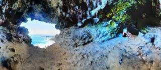
Las Dos Ventanas Caves

Resolution : 67 Mpixels
Date taken : 2009-03-29

My Name is
Grégory Panayotou,
I currently live New Caledonia with my wife and my daughter.


Rapa Nui 360
© 2009- Gregory Panayotou | All rights reserved | Powered by D2B.